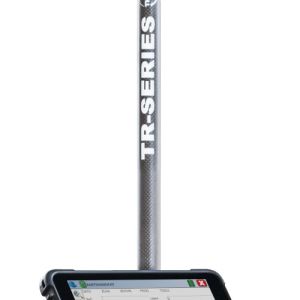
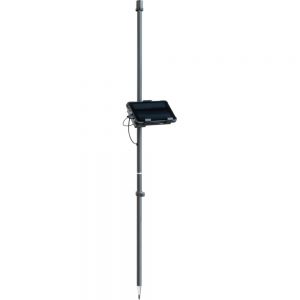
TR-Series W8.0 - GPS/GNSS measuring system
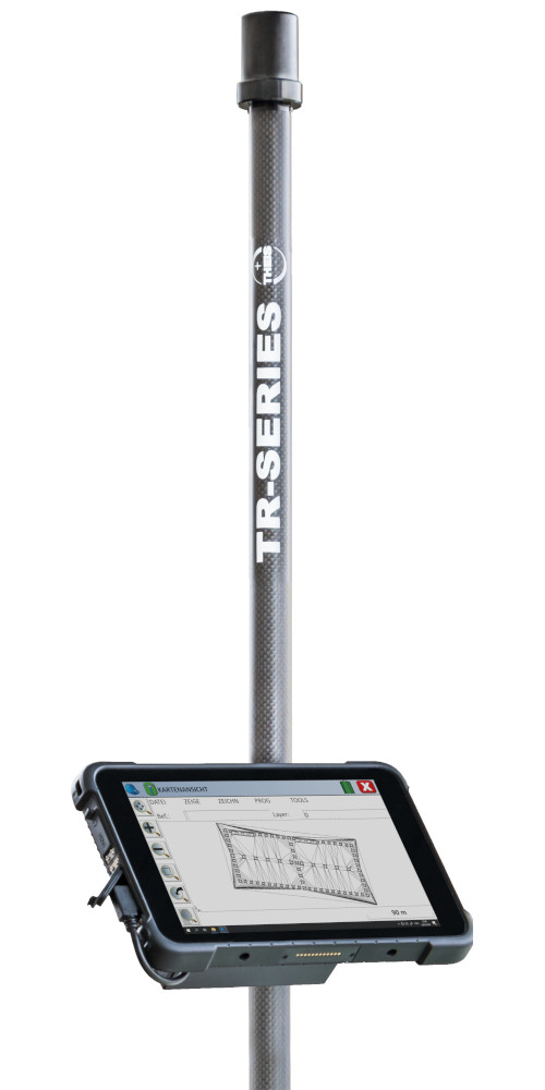
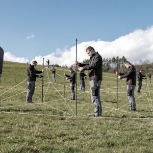
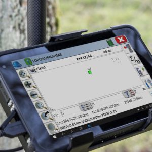
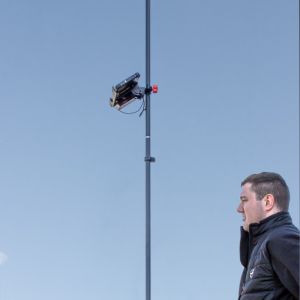
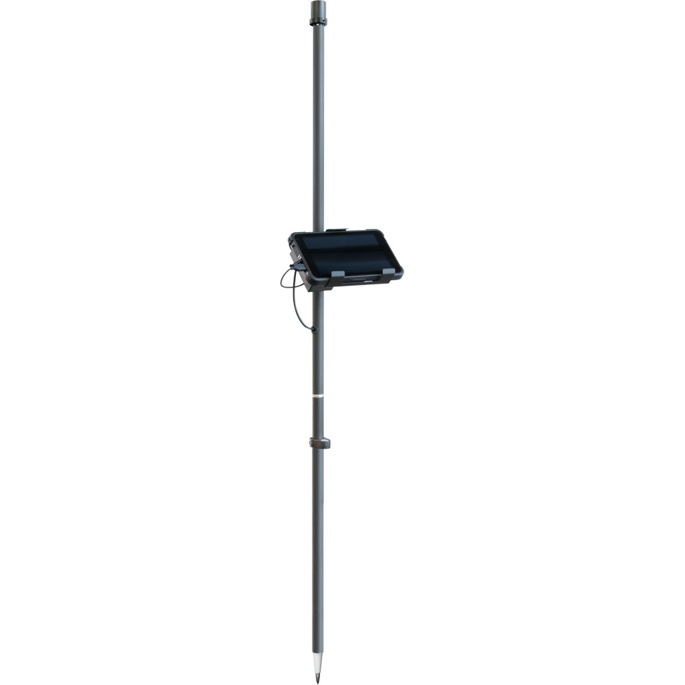
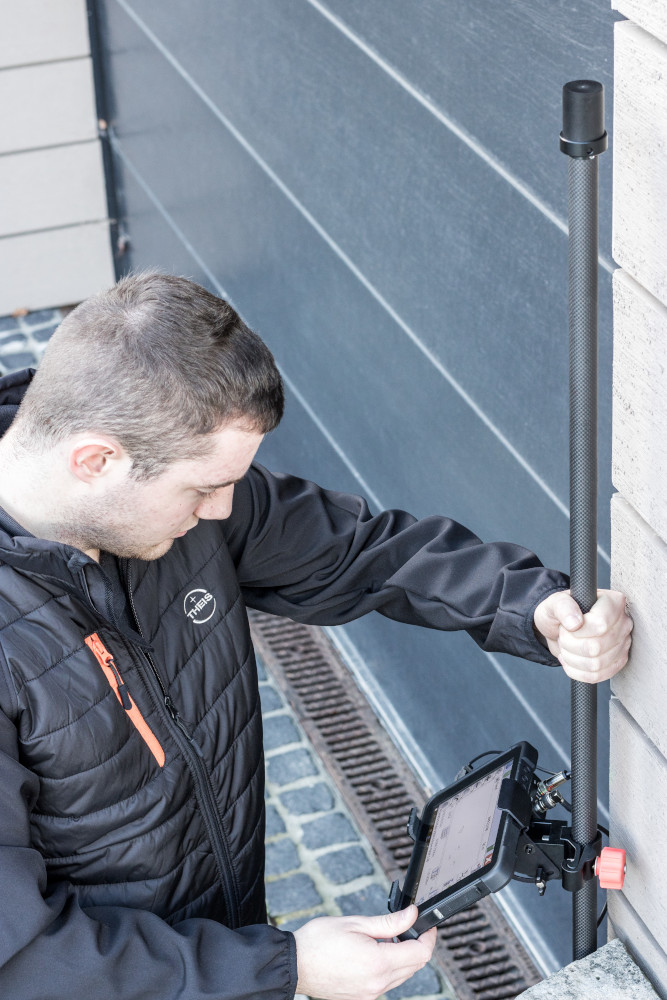
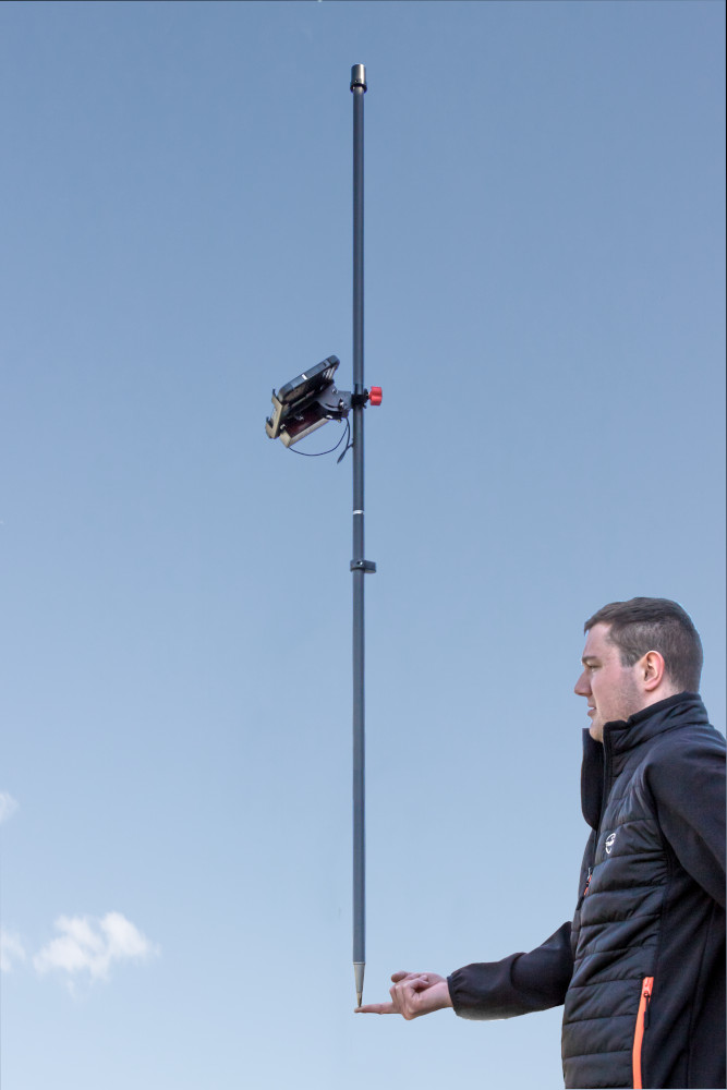
The TR-Series W8.0 is the right choice for surveying and staking out of both small and large projects. The system offers beginners as well as professionals numerous features for creating and maintaining their survey data. The TR-Series W8.0 shows its strengths particularly in shaded areas or on walls. The system is very light and therefore for ideal for long-term work. With the robust 8" Windows tablet and the intuitively operated software Carlson SurvPC, surveying and setting out work can be carried out easily and efficiently.
To the inquiry listTheis TR-Series brochure
Gallery
Details
-
- Satellite systems: GPS, Glonass, Galileo, Beidou
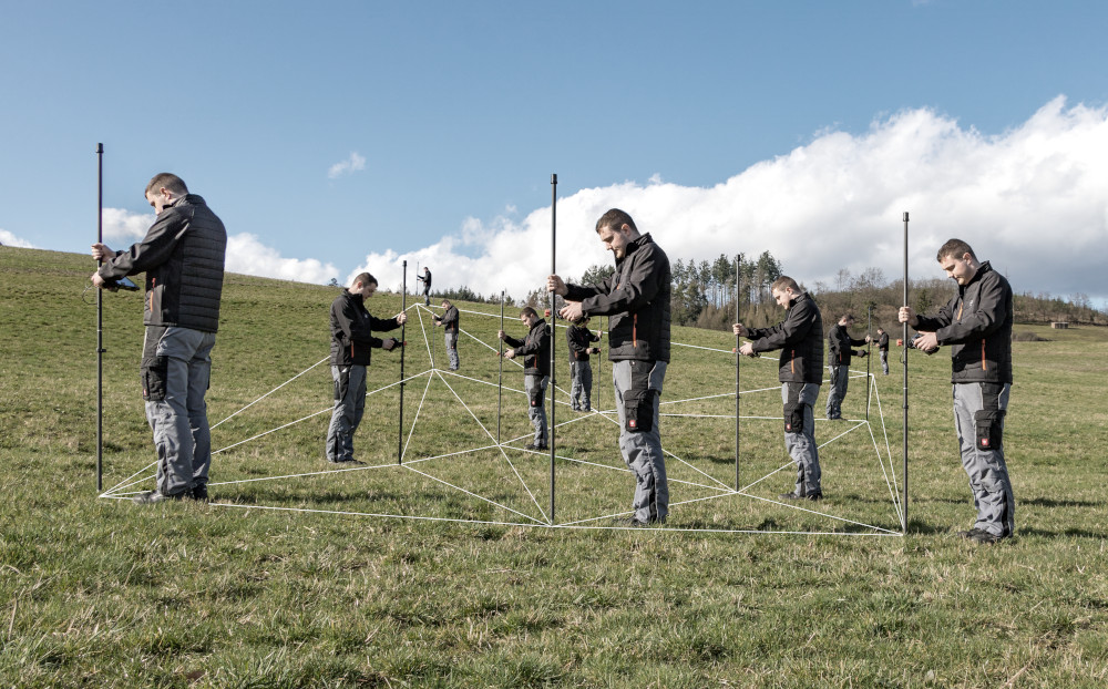
- Measurements on buildings, trees and in ditches possible
- Indirect measurements possible
- code pattern recognition
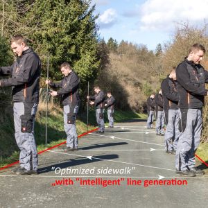
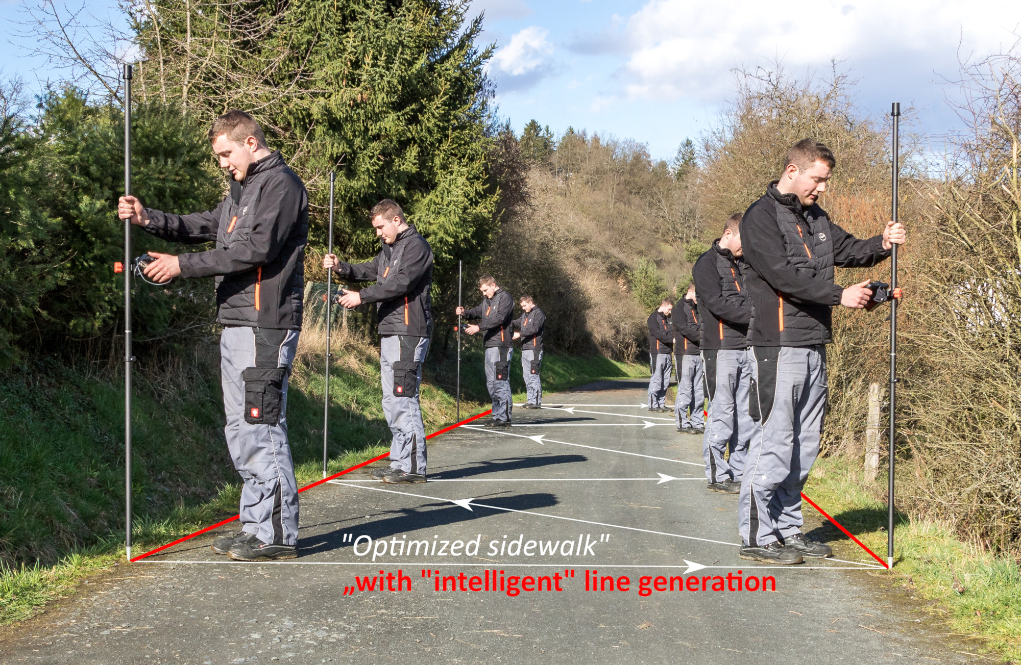
- Intelligent line generation
- Working with code lists
- Use of Attributes
- Area and volume determination on the device
- Working with planning data
- Very good value for money
- Weight only 1.9 kg
-
- civil engineering
- Gardening and landscaping
- Surveying
- Stake out
- Alignment work
- Line cadastre
- Tree cadastre
- Boundary maker search
- control/comparative measurements
- Road construction
Specification
| Satellite systems | GPS, Glonass, Galileo and Beidou |
| Antenna form | Helix |
| Antenna radius | 1,7cm |
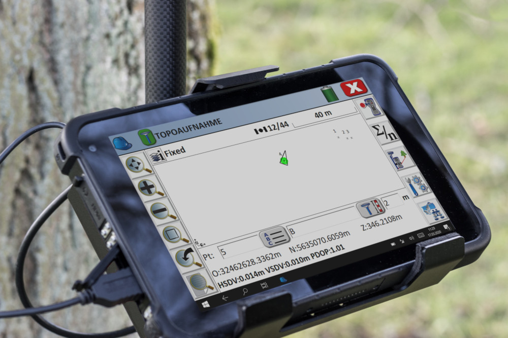
| Display | 8" |
| Operating system | Windows 10 |
| Software | Carlson SurvPC |
| Antenna rod material | Carbon |
| Antenna rod height | 2m (2-part plug-in design) |
| Total weight | 1,9kg |
| Data import | DXF, DWG, LandXML, SHP, ASCII (CSV, TXT, ...) |
| Data export | DXF, DWG, LandXML,TN3, SHP, KML, KMZ, ASCII (TXT, CSV, ...), PDF, HTML |
Accuracy
| RTK Fixed (m) | 0,01 + 1ppm |
| DGPS (m) | 0,3 |
| GNSS only (m) | 1,5 |


