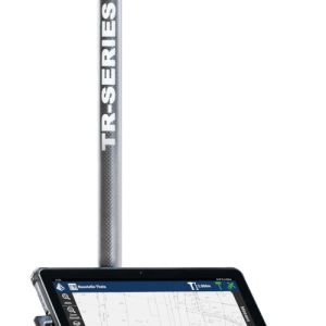
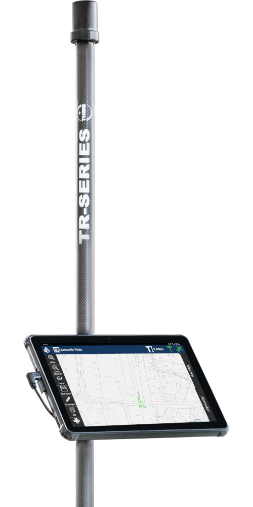
TR-Series A10.0 - GPS/GNSS measuring system

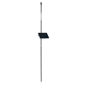
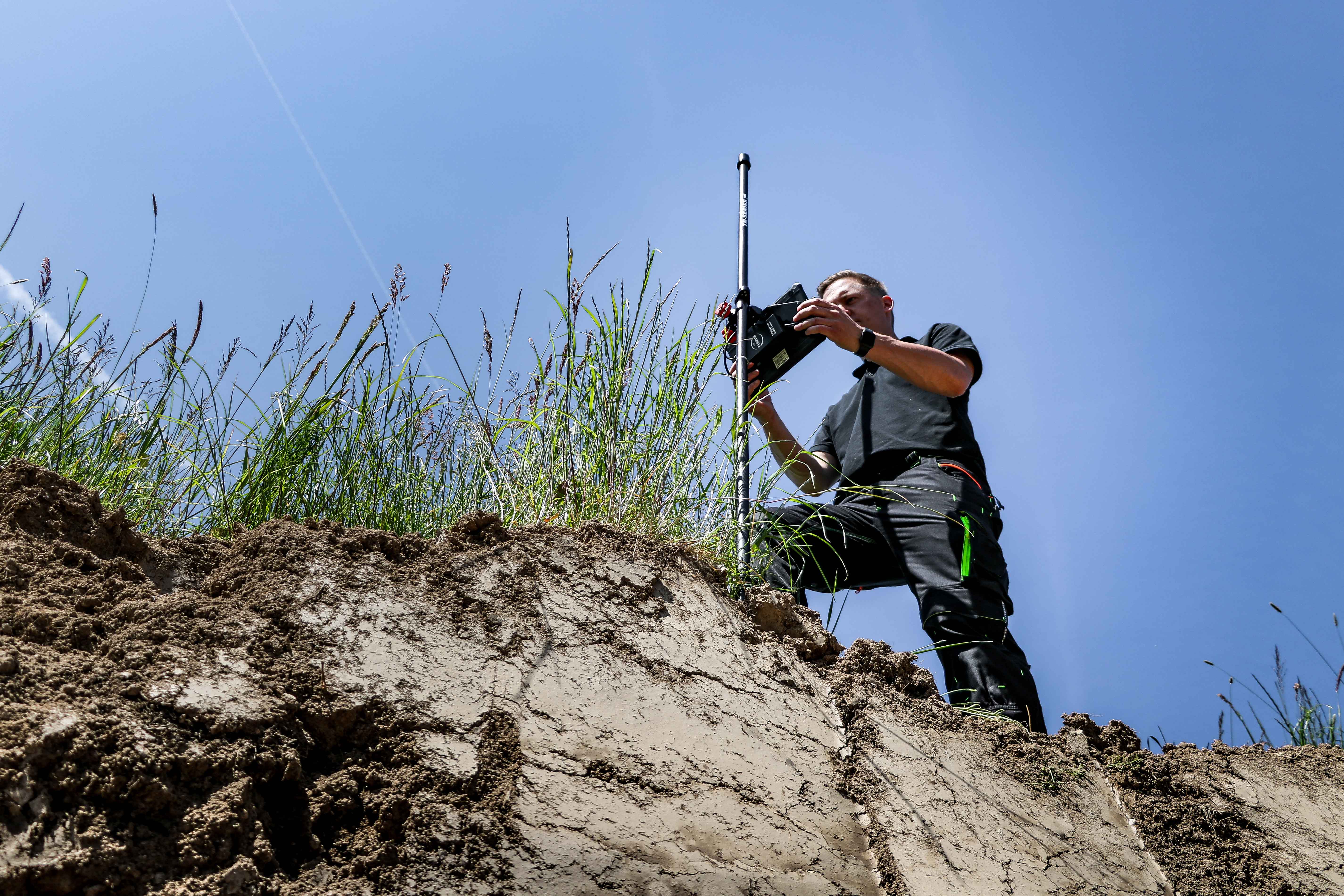
The TR-Series A10.0 is designed for surveying and setting out small and medium-sized projects. The perfect coordination of antenna and GNSS sensor ensures high satellite availability even in shaded areas and on walls. The TR-Series A10.0 is lightweight and, thanks to its long battery life of up to 15 hours, is ideal for longer work. With the intuitively operated Carlson Layout software and a robust 10" Android tablet, surveying and layout work can be carried out quickly and efficiently.
To the inquiry listTheis TR-Series brochure
Gallery
Details
-
- Easy handling
- Satellite systems: GPS, Glonass, Galileo, Beidou
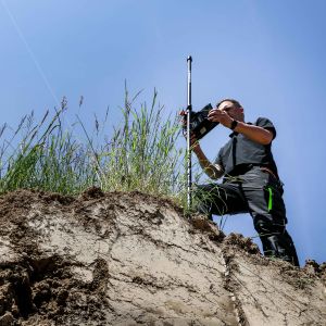
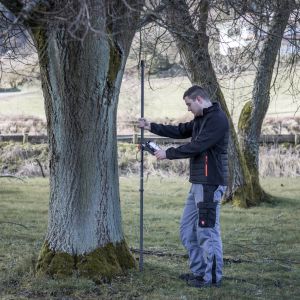
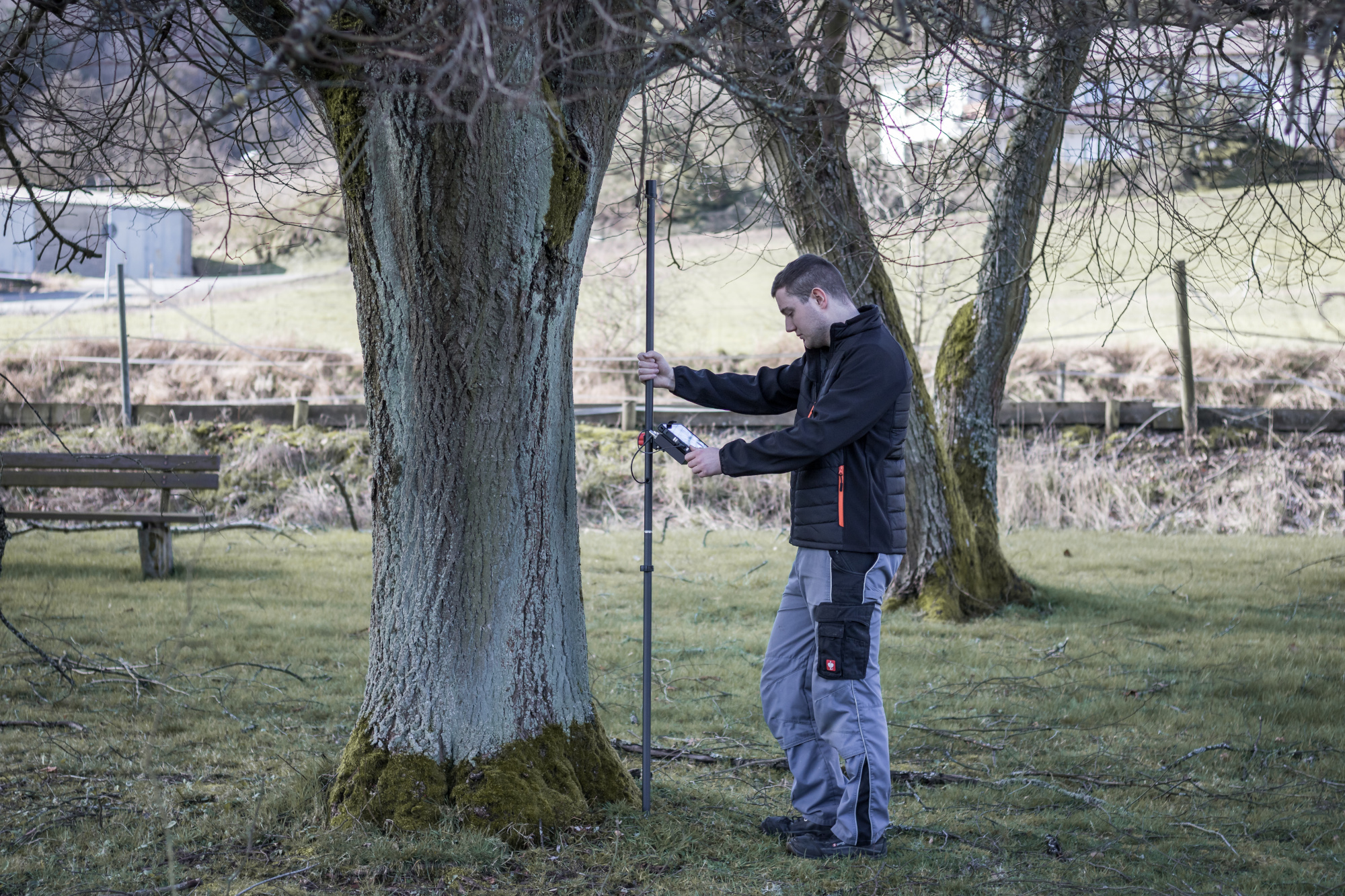
- Measurements on buildings, trees and in ditches possible
- Indirect measurements possible
- Versatile data transfer possible (Android OS)
- Creation of measurement reports
- Area and volume determination on the device
- Working with planning data
- Very good value for money
- Weight only 2.2kg
-
- civil engineering
- Gardening and landscaping
- Surveying
- Stake out
- Alignment work
- Line cadastre
- Tree cadastre
- Boundary maker search
- control/comparative measurements
-
- GNSS sensor
- Helix rod antenna
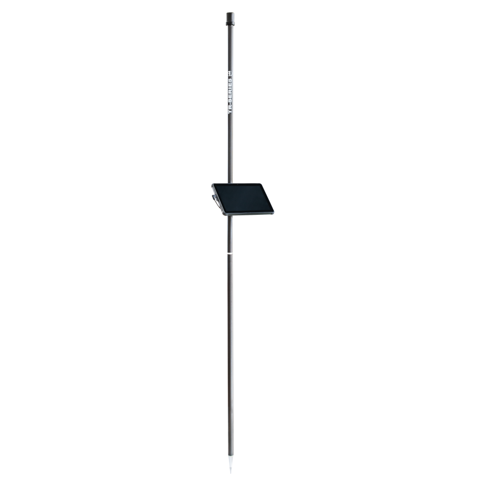
- antenna rod
- tablet PC
- tablet holder
- charger
- protective box
- Software Carlson Layout
Specification
| Satellite systems | GPS, Glonass, Galileo and Beidou |
| Antenna form | Helix |
| Antenna radius | 1,7 cm |
| Display | 10" |
| Operating system | Android 12 |
| Software | Carlson Layout |
| Antenna rod material | Carbon |
| Antenna rod height | 2m (2-part plug-in design) |
| Total weight | 2,2 kg |
| Data import | DXF, DWG, LandXML, ASCII (CSV, TXT, ...) |
| Data export | DXF, DWG, LandXML, KML, KMZ,ASCII (TXT, CSV, ...), PDF, HTML |
Accuracy
| RTK Fixed (m) | 0,01 + 1ppm |
| DGPS (m) | 0,3 |
| GNSS only (m) | 1,5 |


