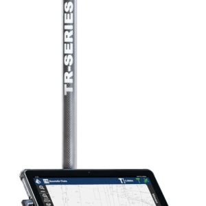
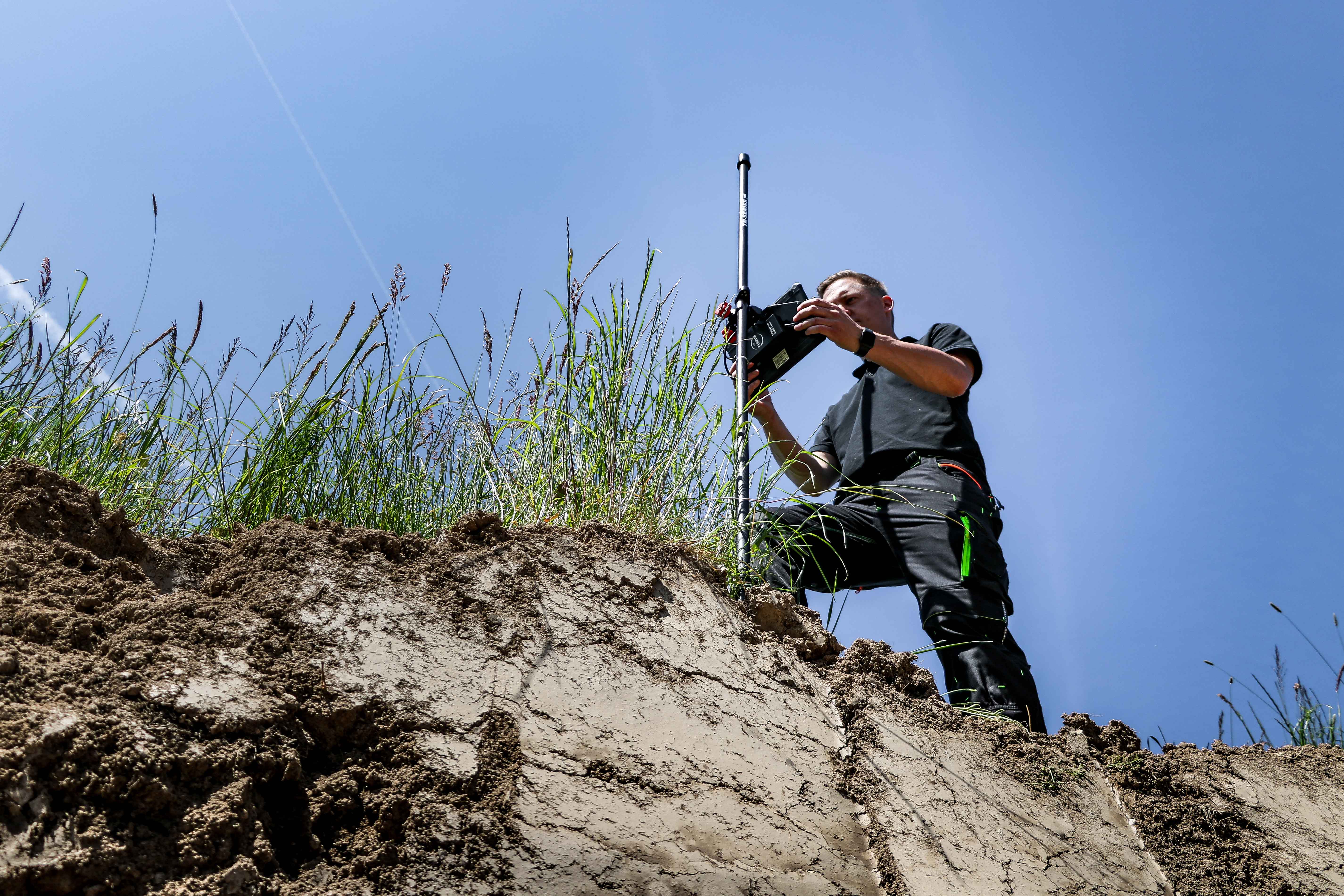
TR-Series A10.0 - GPS/GNSS measuring system
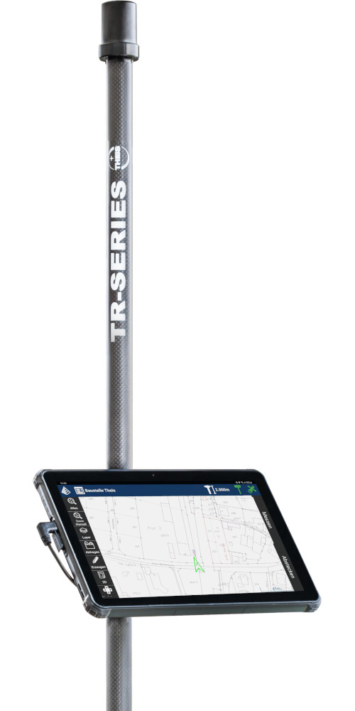
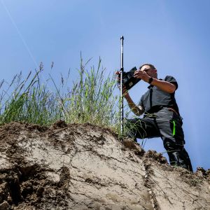
The TR-Series A10.0 is designed for precise surveying and staking tasks in projects of any scale. The perfect coordination of the antenna and GNSS sensor ensures high satellite availability even in shaded areas and near walls. Thanks to its low weight and a battery life of up to 15 hours, it is ideally suited for extended operations. With the intuitive Carlson Layout software and a rugged 10" Android tablet, surveying and staking tasks can be carried out quickly and efficiently.
To the inquiry listTheis TR-Series brochure
Gallery
Details
-
- Easy handling
- Satellite systems: GPS, Glonass, Galileo, Beidou
- Measurements on buildings, trees and in ditches possible
- Indirect measurements possible
- Versatile data transfer possible (Android OS)
- Creation of measurement reports
- Area and volume determination on the device
- Working with planning data
- Very good value for money
- Weight only 2.2kg
-
- civil engineering
- Gardening and landscaping
- Surveying
- Stake out
- Alignment work
- Line cadastre
- Tree cadastre
- Boundary maker search
- control/comparative measurements
-
- GNSS sensor
- Helix rod antenna
- antenna rod
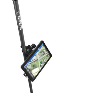
- tablet PC
- tablet holder
- charger
- protective box
- Software Carlson Layout
Specification
| Satellite systems | GPS, Glonass, Galileo and Beidou |
| Antenna form | Helix |
| Antenna radius | 1,7 cm |
| Display | 10" |
| Operating system | Android 12 |
| Software | Carlson Layout |
| Antenna rod material | Carbon |
| Antenna rod height | 2m (2-part plug-in design) |
| Total weight | 2,2 kg |
| Data import | DXF, DWG, LandXML, SHP, ASCII (CSV, TXT, ...) |
| Data export | DXF, DWG, LandXML, SHP, KML, KMZ, ASCII (TXT, CSV, ...), PDF, HTML |
Accuracy
| RTK Fixed (m) | 0,01 + 1ppm |
| DGPS (m) | 0,3 |
| GNSS only (m) | 1,5 |


